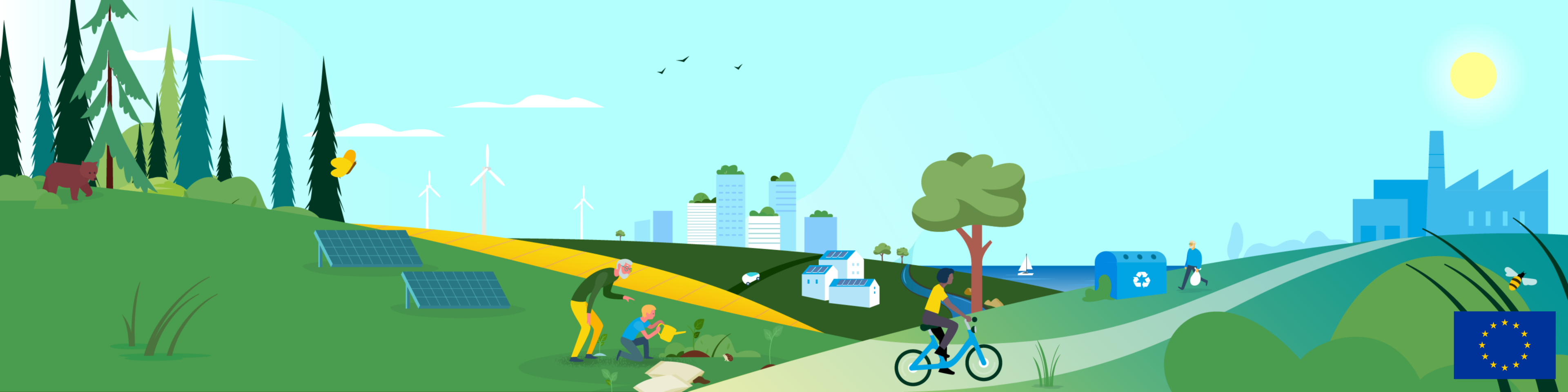
The Commission has developed a new tool to map energy and environmental related data, such as energy infrastructure and renewable energy potential (biomass, solar and wind). The Energy and Industry Geography Lab is being used to conduct spatial assessments related to Europe's energy transition. Over 100 maps are already available, showing power plants (hydropower, nuclear, solar, wind, hydrogen), infrastructure (such as gas storage, oil terminals, pipelines, power lines, ports, roads, railways), emissions of air pollutants, and socio-economic data.
The mapping tool can now also be used to help identify areas that are potential candidates for accelerated permitting for renewable energy projects, also called “renewables acceleration areas” under the revised Renewable Energy Directive (RED Directive). These areas are particularly suitable to develop renewable energy projects as they are not expected to have significant environmental effects. When selecting renewable acceleration areas under the RED Directive, priority will be given to man-made environments, and will exclude Natura 2000 sites, protected areas for biodiversity conservation purposes under national schemes, bird and marine mammal migratory routes, and other areas identified based on sensitivity maps.
The Energy and Industry Geography Lab also now includes now information that supports competent authorities to identify “renewables acceleration areas”, such as:
- Natura 2000 sites and nationally designated protected areas (CDDA)
- Peatlands
- Important bird areas and key biodiversity areas
- Bird tracking data: Dalmatian pelican telemetry
- Ecologically or biologically significant marine areas
- Human pressures on the marine environment
- Underwater noise
- Facilities of the European Pollutant Release and Transfer Register (E-PRTR), including waste treatment
The Commission will integrate more relevant data in the coming months such as wetlands, seabed habitats, bird routes and the distribution of sensitive species.
Practical information
Given the importance of protected environmental areas, users can find out which areas should be excluded from the “renewables acceleration areas”.
For example, by selecting maps of protected areas under the section “Areas for solar and wind” in the Land cover and land use section, users can identify areas that are not eligible to become a renewable acceleration area. Other maps can be used for locating areas that are well suited to become renewable acceleration areas, such as areas where there are already commercial activities such as wastewater treatment plants or industrial installations.
A complete guide to the tool and the dataset available related to renewables acceleration areas is available online to help users start their analysis.
Background
The EU is a global leader in the transition towards climate neutrality, targeting an economy with a net-zero greenhouse gas emissions by 2050. The European Commission has proposed a strategic vision for a climate neutral Europe which includes the maximisation of the deployment of renewable energies and the use of electricity to decarbonise Europe’s energy supply. At the same time, these developments must be compatible with the EU’s biodiversity objectives and the Natura 2000 network.
Details
- Publication date
- 29 November 2023
- Author
- Directorate-General for Environment