About the finalist
| Lead applicants | BROZ – ochranárske združenie; Výskumný ústav vodného hospodárstva (VUVH); Štátna ochrana prírody Slovenskej republiky (SNC SR); Vodohospodárska výstavba, š.p. (VVB) |
| Category | Working together for nature |
| Countries involved | Slovakia |
| Main Natura 2000 sites | Dunajske luhy (Slovakia) |
| Website | https://broz.sk/en/projekty/dunajskeluhy/ |
Overview
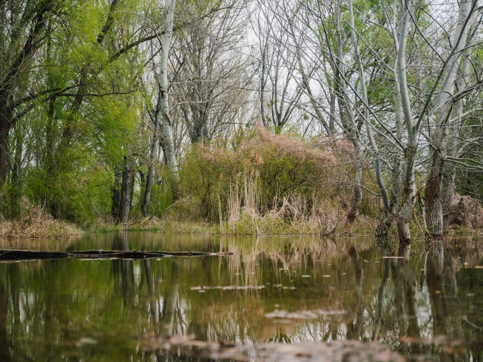
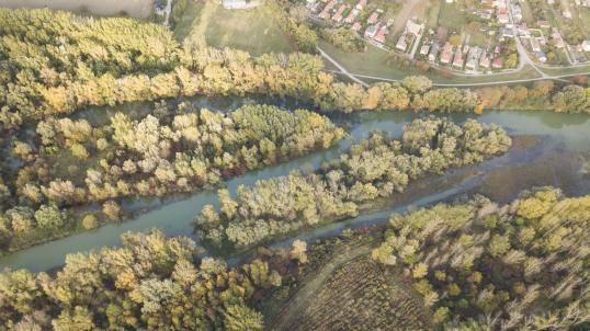
The Danube floodplains south of Bratislava are the largest wetland area in Slovakia and an important water reservoir. The wetlands overlap with the Natura 2000 site ‘Dunajské luhy’.
Originally linked to the main Danube riverbed and regularly flooded, this wetland was gradually transformed over the 20th Century. The original system of river branches that meandered freely with gravel and sand transported by the river current has been regulated by dykes, an artificial navigation canal and the large Gabčíkovo hydropower plant. As a result, the ancient wetland ecosystem became separated from the original Danube riverbed and dependant on an inadequately managed artificial water supply. This led to the degradation of aquatic and riparian (riverside) habitats and species, and conflict between water authorities, river users and environmental organisations ensued.
This initiative, led by the environmental NGO BROZ in partnership with the Water Research Institute, the State Nature Conservancy and the Water management construction state enterprise, successfully applied conflict resolution efforts that have brought together stakeholders to find solutions for maintaining river use while safeguarding Natura 2000 values. These reconciliation efforts, along with habitat restoration and habitat management activities, were implemented over the last five years by several projects funded by the LIFE EU programme (mainly the LIFE Danube floodplains project).
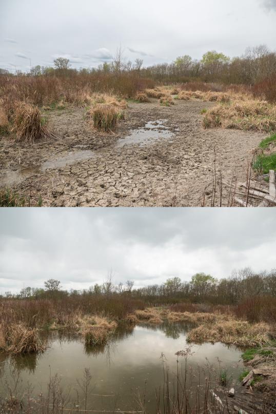
As a result of petitions, and later through communication and negotiations with relevant authorities and stakeholders responsible for the water management, the company responsible for the management of the reservoir and the competent authorities agreed on a new water regime that functions properly in terms of flood scheduling and volume of water discharged. In parallel, the restoration of river connectivity was implemented by digging channels, removing barriers, replacing culverts, and dredging supply channels to restore wetlands, along with planting native tree species and removing alien and invasive species.
The result is an adequate water supply to the wetlands from the river branches (where connectivity has been re-established) and from the reservoir (that is now correctly managed in away that it allows the release of water in appropriate quantity and in the appropriate times of the year) as well as an earlier onset of controlled floods which are better aligned with the natural cycles. As a result, over 75 hectares of wetlands have been restored, and 18,500 metres of free-flowing river tributaries and 225 metres of river banks are now available for native fauna and flora, allowing birds to nest and fish to migrate freely again.
Equally important is the creation of a stakeholder consortium including government agencies, water management companies, nature conservation NGOs and water sports associations, which is expected to continue cooperating in the future. To date, cooperation has resulted in a new operational manual that ensures the integration of Natura 2000 concerns into water management decision-making.
Pictures from the finalist
Videos from the finalist:
https://www.youtube.com/watch?v=FNfwlRiSSJw
https://www.youtube.com/watch?v=k4NE9AcAX-I
https://www.youtube.com/watch?v=EYpkqEUFyoI
Details
- Publication date
- 14 March 2024
- Author
- Directorate-General for Environment


