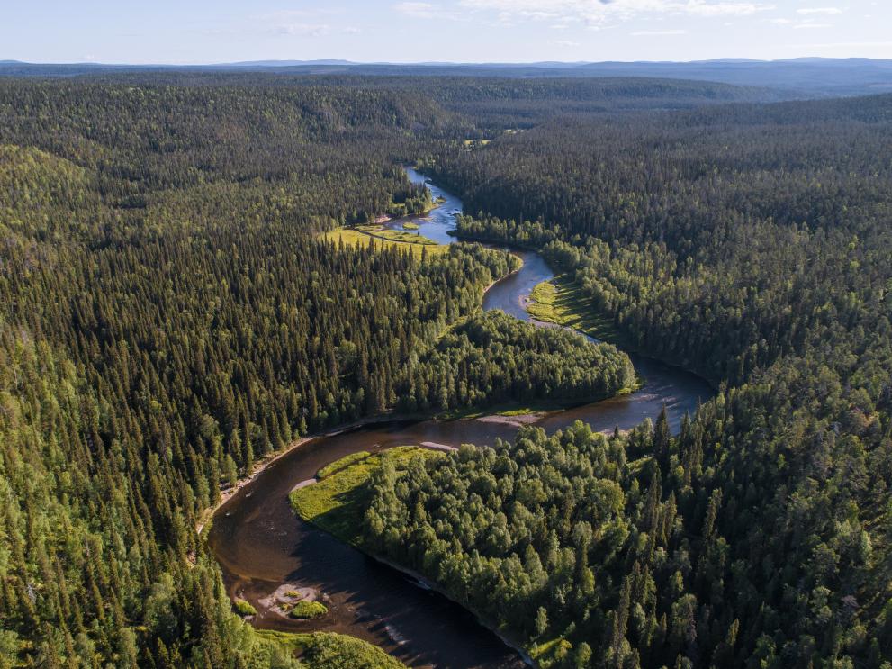
The European aspen (Populus tremula L.) is a keystone species in boreal forests and increases forest biodiversity by hosting accompanying species such as fungi, mosses, woodpeckers, small mammals and invertebrates. These species include lichens, which grow on the trees – many exclusively on aspen – but do not feed from them (‘epiphytic’ lichens). Because of this, the presence and abundance of aspen is a useful indicator of boreal forest biodiversity, and the species richness and community composition of epiphytic lichens can tell us much about the influencing factors in their environment (humidity, tree density and age, light availability and more). However, intensive forestry practices are causing aspen populations to decline, leading to a subsequent loss of lichen habitat.
To reliably detect patterns and trends in biodiversity, standardised measures and tools are required. The use of remote sensing methods for this purpose is increasing, with ‘light detection and ranging’ (LiDAR) and hyperspectral imaging being increasingly used to hunt for diversity in habitats, plant species and plant characteristics.
This study compares remote sensing methods (LiDAR and hyperspectral imaging) to in-field measurements to assess their predictive accuracy, using these two approaches to evaluate epiphytic lichen species richness and community composition on aspen in Finland (a region containing both protected and non-protected forest).
In-field measurements were taken of four substrate and habitat parameters – aspen diameter and height, bark acidity, and the depth of bark furrows on the trunk – while remote sensing measurements looked at nine factors including mean canopy height and area, surrounding tree species composition, number of trees and distance to the nearest water body.
The researchers sampled 230 aspens and identified 106 different epiphytic lichen species. They found that remote sensing measurements predicted the community composition of lichen species reasonably accurately – with several remote sensing measurements1 outperforming those taken in the field – implying that airborne LiDAR may be an effective tool for surveying boreal forest biodiversity.
Communities were also predicted more accurately when a wider radius around the sampled aspen (30 metres (m) versus 10 m) was surveyed, implying that it is not only the host tree that defines the environment for lichens, but rather the properties of the surrounding stand. This highlights the cost-efficiency of remote sensing, say the researchers, when considering the expense of covering a similar area in the field.
While the make-up of lichen communities was affected most strongly by parameters indicating tree and forest maturity – tree and canopy height, tree diameter and deeper furrow depths – lichen species richness was directly connected to the pH of tree bark. Protected and non-protected areas differed from each other in species richness; however, bark pH was the only parameter affecting species richness regardless of whether the forest was protected or not, whereas the effects of tree diameter, height and furrow depth were only significant in protected areas. Protected areas hosted a higher tree-specific number of epiphytic lichen species and ‘red listed’ species, than non-protected groups2.
While a field survey is always required to confirm the presence or absence of lichen species, the results support the potential cost and efficiency benefits of using remote sensing to map potential high-biodiversity habitats, and highlight the importance of Europe’s protected areas. The remote sensing approach used in this study was more effective at predicting lichen communities than traditional field methods characterising the suitability of individual trees for lichen growth. The researchers suggest that, as global biodiversity loss accelerates, it is increasingly important to identify the most accurate, efficient ways to map possible biodiversity hotspots.
Footnotes:
- Mean canopy height, tree density, dominant tree species and tree-stand species diversity.
- The researchers posit that this may be due to the older age of trees in protected areas, which have been able to enjoy longer, undisturbed histories that allow lichen to grow.
Source:
Palmroos, I., Norros, V., Keski-Saari, S., Mäyrä, J., Tanhuanpää, T., Kivinen, S., Pykälä, J., Kullberg, P., Kumpula, T., and Vihervaara, P. (2023) Remote sensing in mapping biodiversity – A case study of epiphytic lichen communities. Forest Ecology and Management 538: 120993. Available from: https://doi.org/10.1016/j.foreco.2023.120993
To cite this article/service:
“Science for Environment Policy”: European Commission DG Environment News Alert Service, edited by the Science Communication Unit, The University of the West of England, Bristol.
Notes on content:
The contents and views included in Science for Environment Policy are based on independent, peer reviewed research and do not necessarily reflect the position of the European Commission. Please note that this article is a summary of only one study. Other studies may come to other conclusions.
Details
- Publication date
- 4 October 2023
- Author
- Directorate-General for Environment

